Ronin Resources has announced its application for the La Punilla gold-silver project in San Juan, Argentina, covering 23,637 hectares. This strategic move is part of Ronin’s efforts to enhance its exploration activities and capitalize on the mineral-rich San Juan Province, known for its significant copper-gold-silver-molybdenum deposits.
La Punilla is part of our focus to assess and acquire high-quality gold projects with strong geological fundamentals and clear potential to deliver shareholder value. Our strategy emphasizes disciplined, value-accretive acquisitions with a long-term outlook
Figure 1: La Punilla Project – Main Area of Interest (Quebrada Palca Colour Anomaly) showing targets identified, MTMF anomalies and all rock chip samples from the January 2026 campaign. Map indicates the new work which was undertaken in January 2026; new sample locations are shown with grey squares, MTMF anomalies by magenta-coloured polygons, and blue lines represent observed or interpreted faults.
Drone based aeromagnetic survey completed in the Quebrada Palca.
DAMS SRL, a geophysical company from San Juan was contracted to surveyan area about 3km x 2km in the Quebrada Palca with an airborne magnetometer suspended from a drone. Line spacing was 100m and height above the ground was about 90m. A total of about 55 line-km were flown.
Survey results indicate a magnetic source directly below the Quebrada Palca colour anomaly (Figure 1). Dimensions of the surveyed part of the anomaly are about 1km x 500m. The anomaly appears to weaken at its eastern extremity, but was not closed off. These dimensions are within the size-range of the magnetite bearing parts of the potassic alteration zone in porphyry copper deposits.
Figure 2: Results of the aeromagnetic survey. Processing shown is the analytical signal of the vertical integral. This processing removes regional gradients and allows the correct spatial positioning of magnetic sources. Here it is overlain semi-transparently on a high-resolution satellite image. Grey stars indicate rock-chip geochemical sample locations. The cluster in the eastern part of the grid represents the location of the samples taken over the Quebrada Palca colour anomaly.
Anomalous Au-Ag-Cu-W Rock-Chip Values and Coincident Magnetic Source Strengthen Porphyry Target at La Punilla
Gold values from the quartz veinlets zone were up to 3.04 g/t in the new sampling and copper up to 1,055 ppm (Figure 3). Copper and gold anomalous samples are mainly concentrated in an east-northeast trending belt. This trend coincides with the long axis of the magnetic anomaly. Anomalous molybdenum and tungsten were also found (Figure 3). A sample in which wolframite had been identified in the field had 2,110 ppm tungsten indicating a granitoid intrusive affinity. Silver values were also higher with a maximum of 13.75 g/t.
Figure 3: Quebrada Palca rock-chip geochemistry — Au (top left), Cu (top right), Mo (bottom left), W (bottom right). Combined results from the November 2025 (refer ASX announcement, 27 January 2026) and January 2026 field campaigns. Peak values labelled. WGS84 Zone 19S.
The Vetas Project
Overview and location
The Vetas Project consists of one mining title and one mining concession application.
The project is located 50 km north of the town of Tibu, Norte de Santander in northeast Colombia, 5 km south of La Gabarra village and approximately 20 km from the Venezuelan border.
The project area lies in the North Catatumbo area, in the eastern foothills of the Eastern Andean Cordillera within the Perijá Mountain Range, comprising hills and valleys transected by the Catatumbo, Río de Oro and Eusebio rivers.
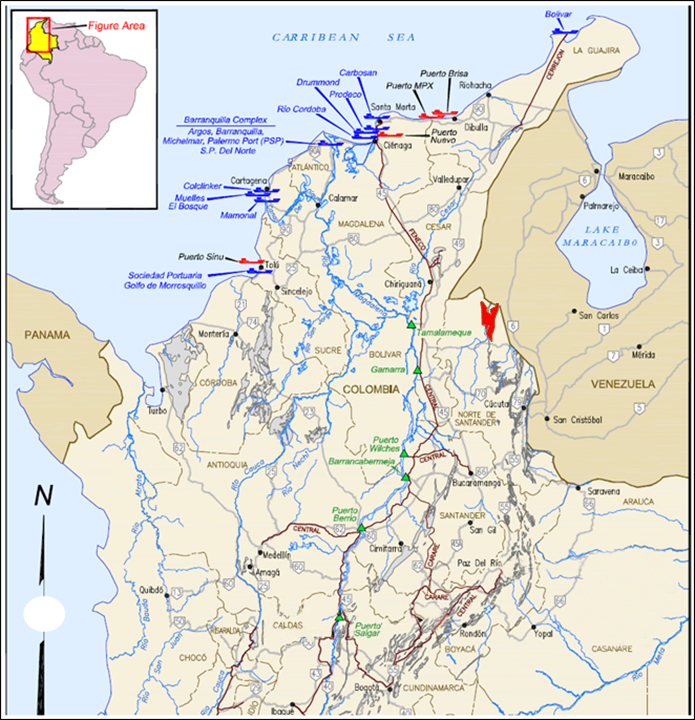
The elevation in the project area ranges between 50 – 350 m above sea level. The city of Cucuta is approximately 170 km to the south of the deposit and the Colombian ports near Santa Marta on the Caribbean coast are about 600 km to the northwest of the project area.
The Vetas Project can be accessed by a road connecting the town of Tibú and La Gabarra village (50 km); from Tibu to the west a minor road (Convencion-El Tarra) of approximately 200 km winds through the Eastern Cordillera to the Magdalena River Valley where a main national road and the rail line (La Dorada – Chiriguana) connects to the Caribbean ports.